challans
Challans, France
46.850724, -1.848690
on the track map
685 m lap
real terrain elevation
1 download
v1
updated 2026-10-20
challans is a free, community-made Assetto Corsa track mod in Challans, France, about 685 m per lap, traced from satellite imagery with real terrain elevation draped over it. Download the folder below and install it with Content Manager to drive challans in Assetto Corsa.
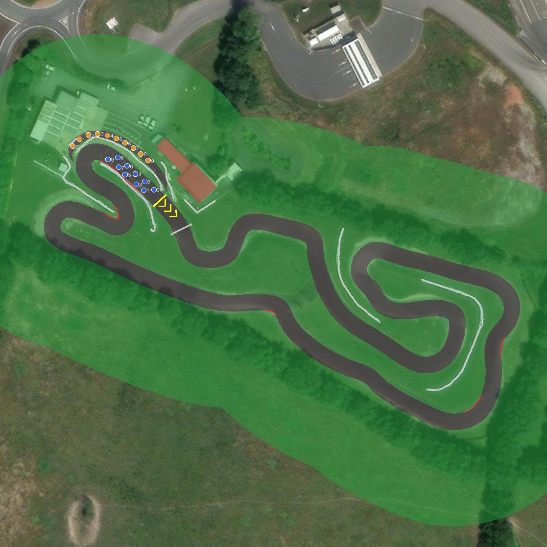
Explore in 3D
Free-fly camera: drag to look, wheel to fly forward, WASD to move, Q/E for down/up, hold Shift to go faster.
Install
- Download the zip above.
- Extract it into
steamapps/common/assettocorsa/content/tracks(Content Manager: drag the zip onto the app). - Pick the track in a practice session and drive.
Nearby tracks
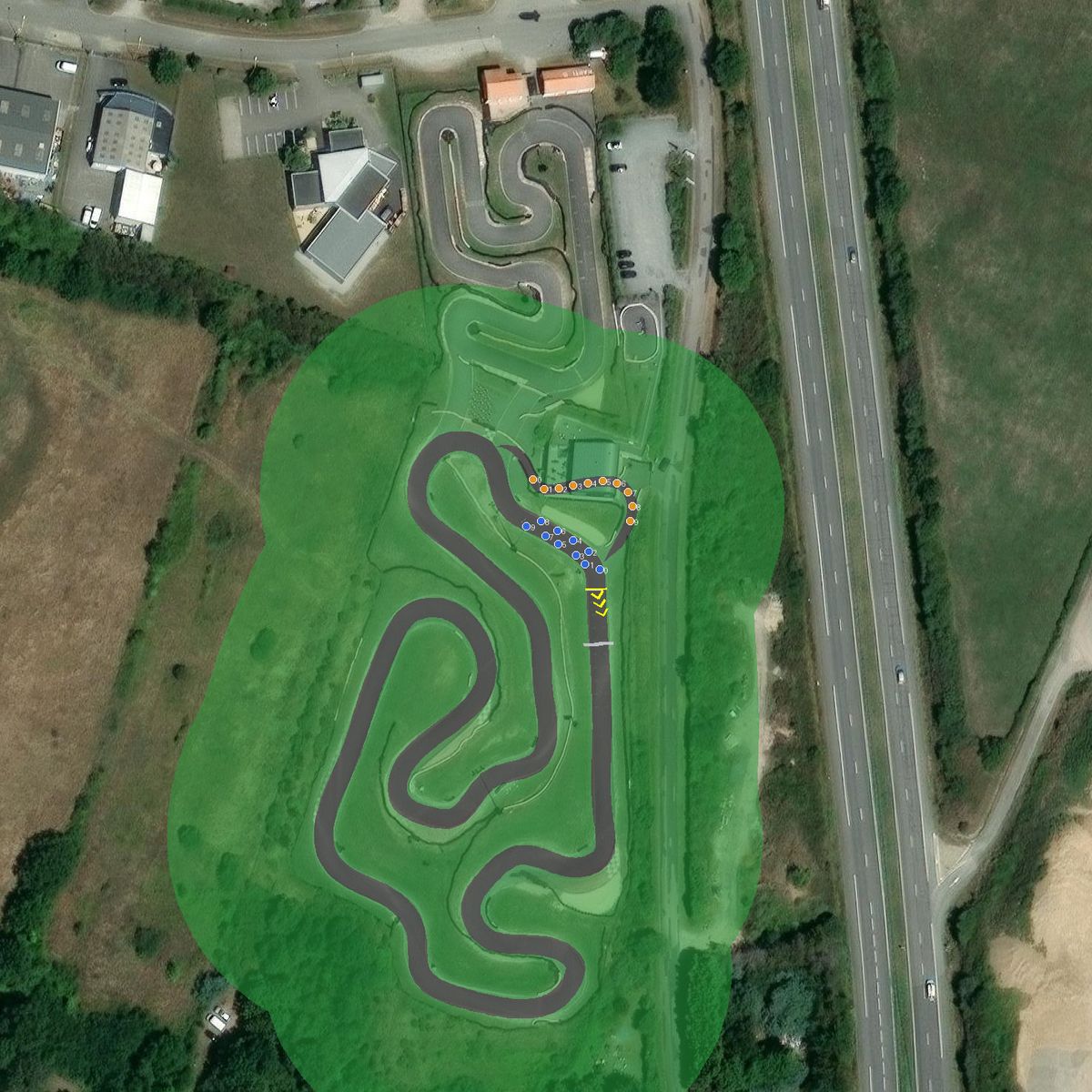
Racing Kart Jade
Saint-Michel-Chef-Chef, France

Plesse
Plessé, France

Circuit de Vendee - Fontenay Le Comte
Fontenay-le-Comte, France
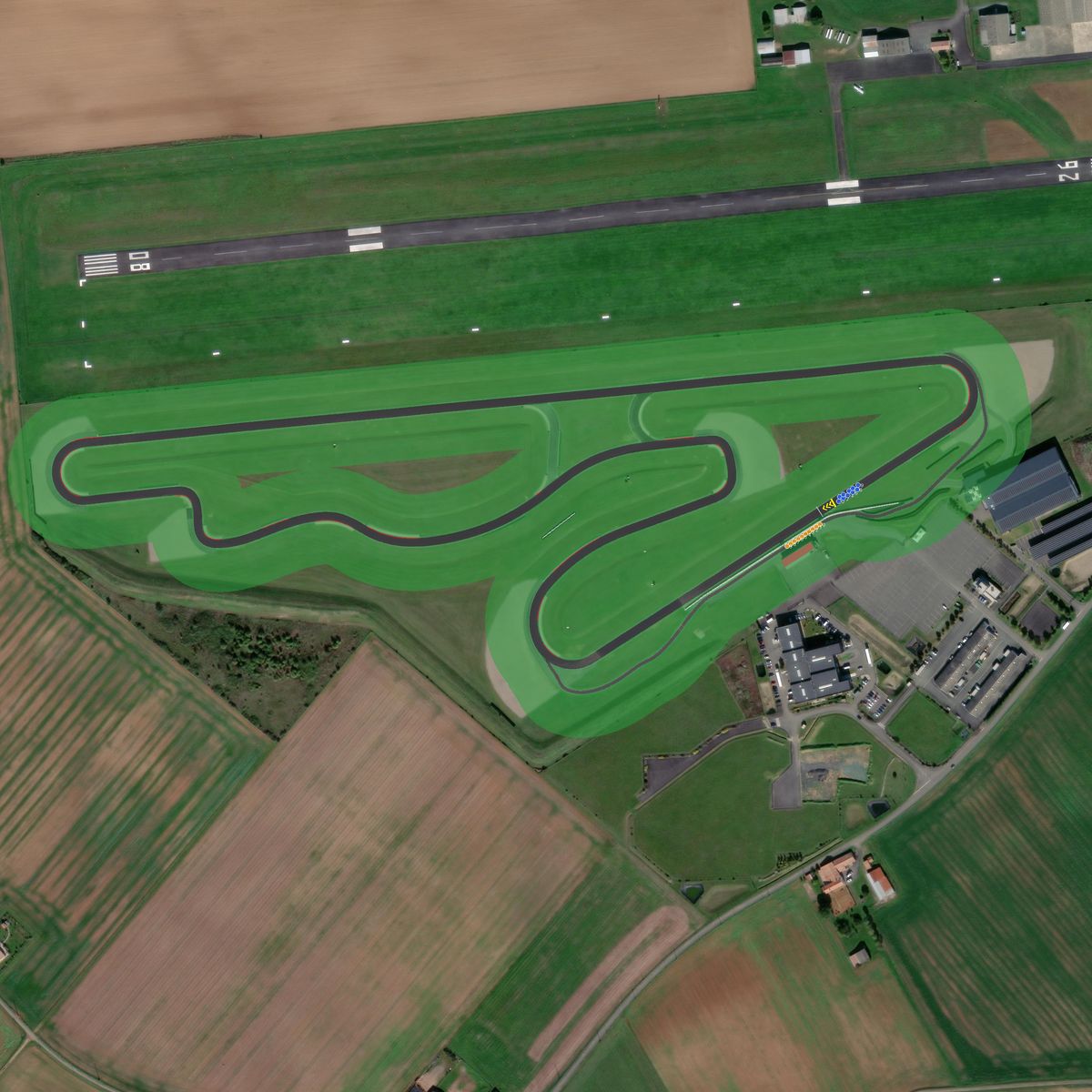
fontenay circuit
Fontenay-le-Comte, France
Made with TrackTracer — trace your own local circuit from satellite imagery, free.