GP_Jardim_Paris_Jundiai-SP
Jundiaí, Brazil
-23.184678, -46.893886
on the track map
4276 m lap
real terrain elevation
6 downloads
v3
updated 2026-08-25
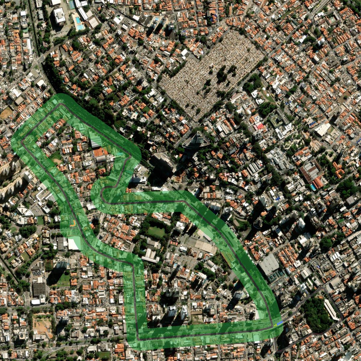
A section of varying elevation of the "Jardim Paris" neighborhood of Jundiaí city, in the São Paulo state of Brazil. Unfortunately, TrackTracer gets confused on overlapping roads. The start-finish point/straight is supposed to be above the intersecting straight from "9 de Julho" avenue. The pit-boxes were supposed to be on a parking lot of a supermarket branch, didn't end up very well... This'd be more suited for a timed run rather than an actual race though...
Explore in 3D
Free-fly camera: drag to look, wheel to fly forward, WASD to move, Q/E for down/up, hold Shift to go faster.
Install
- Download the zip above.
- Extract it into
steamapps/common/assettocorsa/content/tracks(Content Manager: drag the zip onto the app). - Pick the track in a practice session and drive.
Made with TrackTracer — trace your own local circuit from satellite imagery, free.