Gräfendorf_GP_Teich
Niederer Fläming, Germany
51.914168, 13.191205
on the track map
2136 m lap
real terrain elevation
6 downloads
v1
updated 2026-08-19
Gräfendorf_GP_Teich is a free, community-made Assetto Corsa track mod in Niederer Fläming, Germany, about 2136 m per lap, traced from satellite imagery with real terrain elevation draped over it. Download the folder below and install it with Content Manager to drive Gräfendorf_GP_Teich in Assetto Corsa.
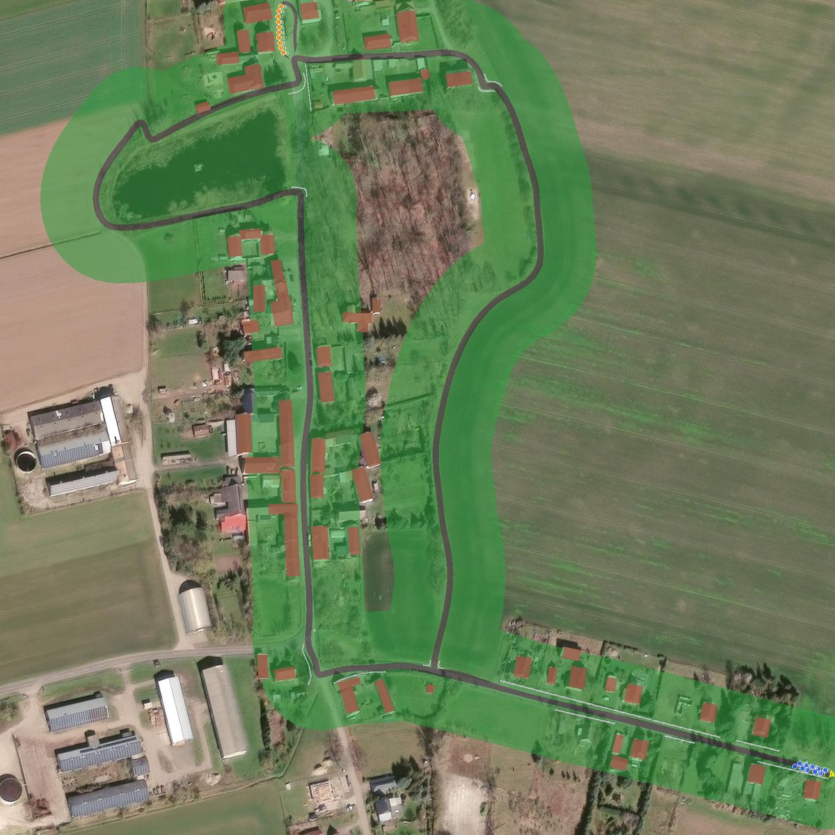
Explore in 3D
Free-fly camera: drag to look, wheel to fly forward, WASD to move, Q/E for down/up, hold Shift to go faster.
Install
- Download the zip above.
- Extract it into
steamapps/common/assettocorsa/content/tracks(Content Manager: drag the zip onto the app). - Pick the track in a practice session and drive.
Nearby tracks
Spreewaldring_lmao
Schönwald, Germany

Spreewaldring (Kartstrecke)
Schönwald, Germany

Tempelhofer Feld
Berlin, Germany

lausitz long
Schipkau, Germany
Gausgymnasium 2
Frankfurt (Oder), Germany
Made with TrackTracer — trace your own local circuit from satellite imagery, free.